

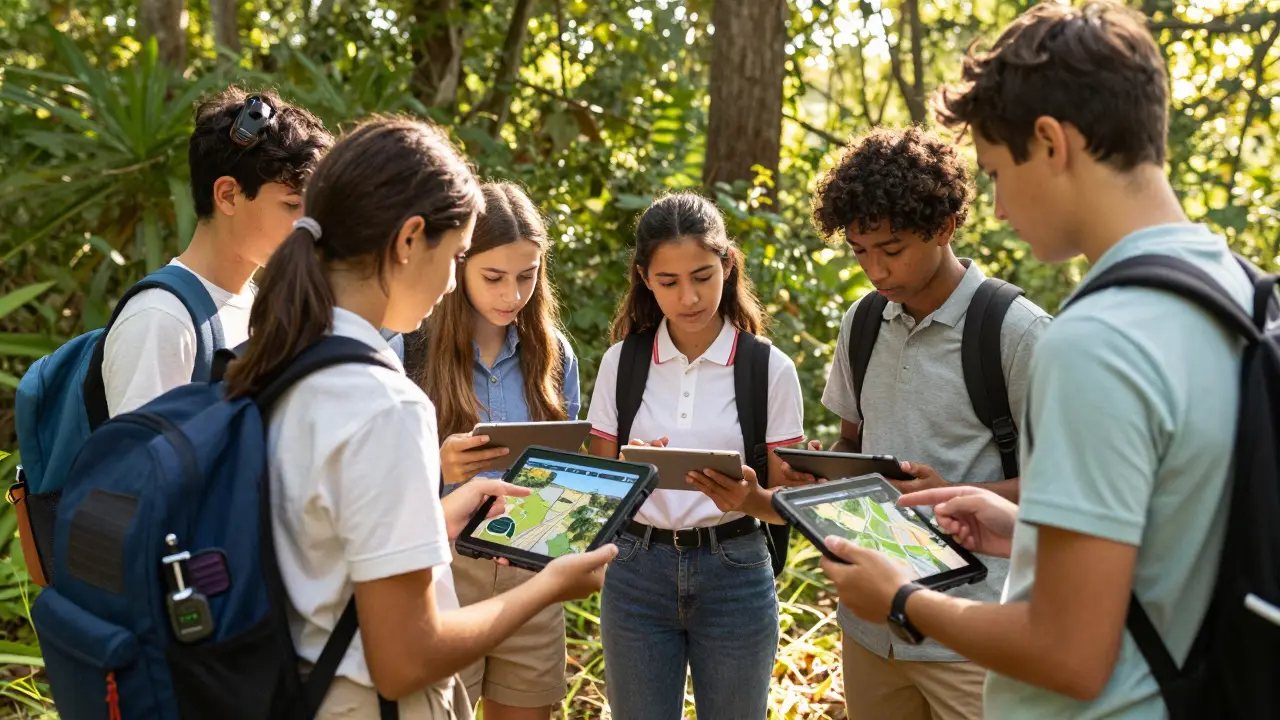
Imagine a classroom where the walls are made of trees, the whiteboard is a stream bed, and the lesson plan involves tracking wildlife with GPS sensors. This isn’t a fantasy camp; it’s the new frontier of Experiential Learning an educational approach that emphasizes learning through direct experience, reflection, and active engagement with the environment. For years, educators have debated whether technology has a place in nature. The answer in 2026 is a resounding yes-but only if we get the balance right.
We are seeing a shift away from screens-as-distractions toward screens-as-tools. When you combine the raw, unscripted reality of the outdoors with the precision of Educational Technology digital tools and platforms designed to facilitate teaching and learning processes, you don't just teach students about the world; you give them the power to measure, analyze, and change it. But how do you actually pull this off without turning a hike into a tech support nightmare?
The Core Philosophy: Why Blend Tech with Nature?
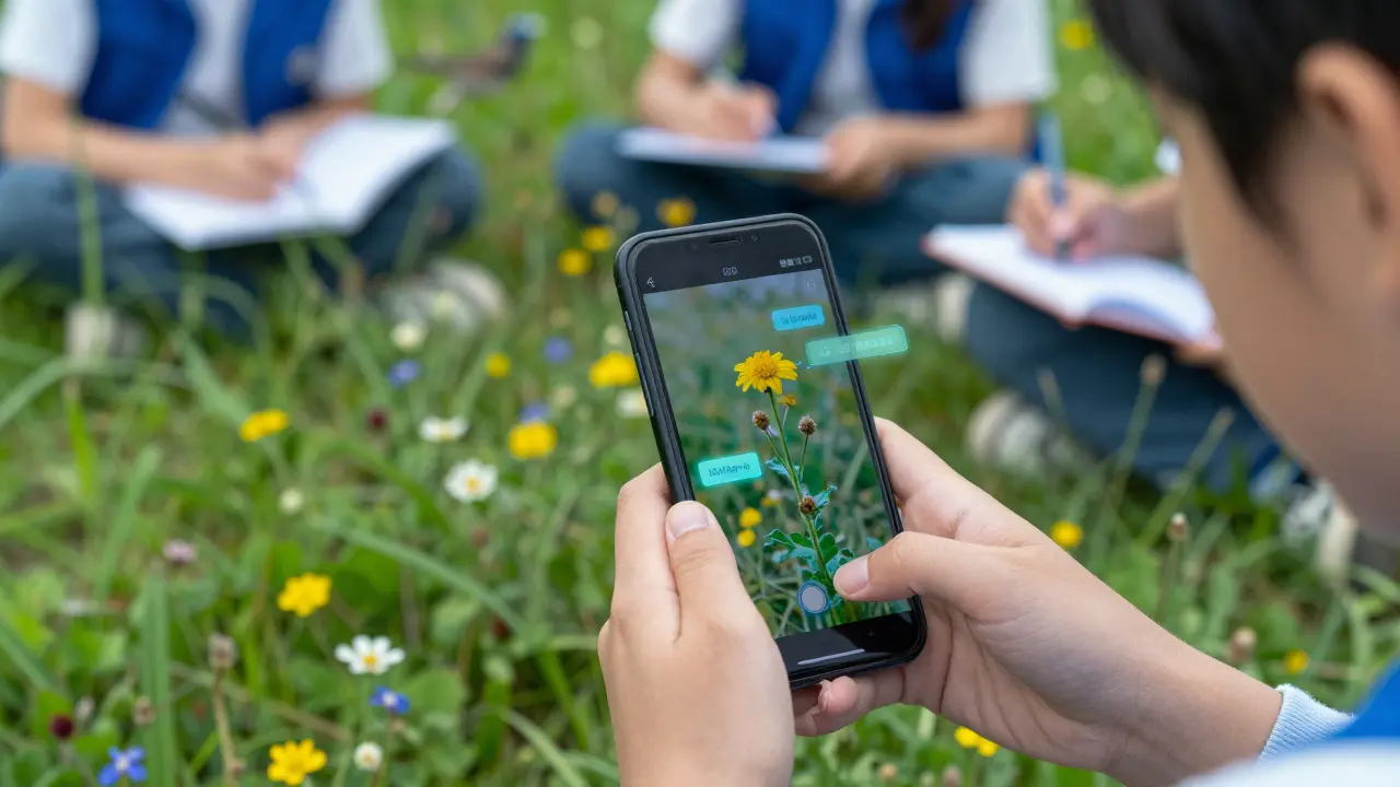
Traditional outdoor education often relied on analog methods: paper maps, compasses, and observation journals. These are still valuable. However, adding a digital layer transforms passive observation into active data science. Consider the difference between telling a student "that bird is rare" versus having them record its call using an app like Merlin Bird ID a free AI-powered bird identification application developed by the Cornell Lab of Ornithology, upload the audio to a global citizen science database, and see their contribution instantly verified by experts worldwide.
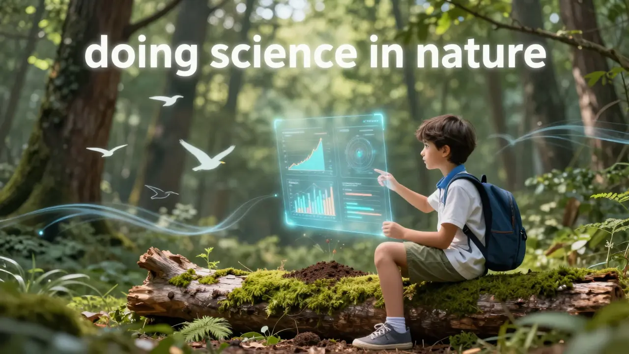
This integration supports Constructivism a learning theory suggesting that learners construct knowledge through experiences and reflecting on those experiences. Students aren't just memorizing facts; they are generating evidence. In 2026, the goal isn't to replace the mud on their boots with pixels on a screen. It's to use those pixels to understand the mud better. We are moving from "learning about nature" to "doing science in nature."
Essential Tools for the Digital Field Trip
To make this work, you need hardware and software that can survive the elements while providing immediate feedback. Here are the core technologies driving this integration today:
- Ruggedized Tablets: Devices like the Samsung Galaxy Tab Active4 Pro a rugged tablet designed for industrial and outdoor use with MIL-STD-810H certification or similar IP68-rated devices are essential. They withstand drops, dust, and rain, allowing students to access GIS maps or take high-res photos without fear of damage.
- Citizen Science Apps: Platforms like iNaturalist a social network for naturalists and conservationists to share observations of species and eBird a global database of bird observations managed by the Cornell Lab of Ornithology and National Audubon Society allow students to contribute to real-world research. Their data helps track biodiversity trends, giving their fieldwork genuine scientific weight.
- Augmented Reality (AR) Lenses: Apps such as Google Earth AR a feature within Google Earth that allows users to view 3D models of locations in their physical space can overlay historical data or geological layers onto the landscape. A student can look at a riverbank and see what it looked like fifty years ago, or visualize flood zones based on climate models.
- Environmental Sensors: Low-cost IoT devices like Arduino-based weather stations custom-built electronic devices using Arduino microcontrollers to measure environmental variables can measure soil pH, temperature, and humidity in real-time. This data feeds directly into spreadsheets or cloud dashboards for immediate analysis.
| Activity | Analog Method | Digital/EdTech Method | Learning Outcome |
|---|---|---|---|
| Navigating Terrain | Paper Map & Compass | GPS-enabled GIS App (e.g., ArcGIS Field Maps) | Spatial awareness + Data visualization skills |
| Species Identification | Field Guide Book | AI Image Recognition App (e.g., Seek by iNaturalist) | Taxonomy knowledge + Understanding AI limitations |
| Data Collection | Paper Notebook | Cloud-synced Spreadsheet (e.g., Microsoft Forms) | Observation skills + Real-time data aggregation |
| Reflection | Journal Entry | Voice Memo or Video Blog | Introspection + Digital storytelling |
Designing Lessons That Don't Fail in the Rain
The biggest pitfall in integrating EdTech with outdoor learning is poor planning. You cannot rely on school Wi-Fi when you're three miles into the woods. Your lesson design must be resilient. Start by defining the "offline-first" workflow. Download all necessary maps, articles, and video resources before leaving the classroom. Use apps that sync automatically when connectivity returns.
Consider the concept of Blended Learning an educational approach that combines online digital media with traditional classroom methods. Before the field trip, students might watch a virtual reality tour of the ecosystem they are visiting. This primes their brains to notice specific details. During the trip, they use tablets to capture evidence. Afterward, they use that data to create presentations or code simple visualizations. The technology serves the experience, not the other way around.
Another critical factor is battery life. In 2026, portable solar chargers are more efficient than ever, but you should still build redundancy into your plan. Encourage students to carry power banks. Teach them energy management as part of the curriculum-how long does a device last on 5G vs. airplane mode? This becomes a practical lesson in resource conservation.
Real-World Applications Across Subjects
This approach isn't limited to biology or environmental science. Every subject can benefit from the intersection of nature and technology.
In History, students can use AR apps to reconstruct ancient sites. Standing in a forest, they can overlay images of indigenous settlements or colonial structures, discussing how land use has changed over centuries. In Literature, students can record ambient sounds and write poetry inspired by the acoustic ecology of the area, then edit their work using mobile word processors. In Mathematics, they can measure tree heights using trigonometry apps or calculate the volume of rainfall collected in buckets, analyzing the data for statistical trends.
For example, a middle school project might involve mapping local pollinators. Students use iNaturalist to identify bees and butterflies, noting the time of day and flower type. Back in class, they import this data into Google Sheets a web-based spreadsheet program included as part of the free, web-based Google Docs Editors suite offered by Google to create charts showing peak activity times. They then present findings to local gardeners, offering recommendations for planting native flowers. This closes the loop between observation, analysis, and community action.
Overcoming Common Barriers
Teachers often worry about liability and distraction. Who watches the kids while they fiddle with apps? The key is structured roles. Assign specific tech tasks to small groups. One student navigates, one records data, one photographs specimens. Rotate roles every twenty minutes. This keeps everyone engaged and ensures no one is left unsupervised.
Digital equity is another concern. Not all families have high-end devices. Schools should provide loaner tablets or use school-owned Chromebooks with protective cases. Focus on free, open-source software wherever possible. Many powerful tools, like Khan Academy's offline modes or OsmAnd an advanced navigation and travel app with offline maps, require no subscription fees.
Finally, address the "screen fatigue" paradox. If students spend all day looking down, they miss the point of being outside. Set "tech-free zones" or times during the excursion. Encourage barefoot walking, silent observation, and sketching with pencil and paper. Balance is everything. The goal is to enhance presence, not diminish it.
Future Trends: What’s Next for Outdoor EdTech?
As we move further into the late 2020s, expect to see more integration of Artificial Intelligence simulation of human intelligence processes by machines, especially computer systems in real-time identification. Imagine pointing a camera at a plant and getting not just its name, but information about its medicinal uses, cultural significance, and current health status based on leaf color analysis. Wearable tech will also play a bigger role, tracking heart rates and movement to help students understand their own physiological responses to stress and exertion in natural settings.
Furthermore, Blockchain a distributed ledger technology that records transactions across many computers so that the record cannot be altered retroactively may be used to certify outdoor learning credentials. Students could earn verifiable badges for completing specific ecological surveys, creating a portfolio of real-world scientific contributions that colleges and employers can trust.
Is it safe to let students use expensive tech equipment outdoors?
Yes, if you use ruggedized devices designed for outdoor use. Look for IP67 or IP68 ratings, which indicate resistance to dust and water immersion. Additionally, invest in protective cases and lanyards. Establish clear rules about handling devices, and consider insurance policies for school equipment. The durability of modern tablets has improved significantly, making them viable for fieldwork.
How do I handle areas with no internet connection?
Plan for offline functionality. Download maps, articles, and videos beforehand. Use apps that allow offline data entry, which syncs when you return to Wi-Fi range. Teach students to manage their device storage efficiently. Some schools use mesh networks or portable hotspots, but offline-first design is the most reliable strategy.
Does using technology distract students from nature?
It can, if not managed properly. The key is intentionality. Use technology as a tool to deepen engagement, not replace it. For example, use an app to identify a bird, then put the phone away to observe its behavior. Set specific times for tech use and encourage periods of unmediated observation. Balance is crucial to prevent screen fatigue.
What are some free apps for outdoor learning?
Several excellent free options exist. iNaturalist and Seek are great for species identification. OsmAnd offers detailed offline maps. Google Earth provides AR features and satellite imagery. Khan Academy has offline content for various subjects. These tools are widely used and supported by large communities, ensuring regular updates and reliability.
How can I assess student learning in an outdoor tech-integrated setting?
Assessment should be multifaceted. Use digital portfolios where students compile photos, data logs, and reflections. Evaluate their ability to interpret data from sensors or apps. Peer reviews of collaborative projects can also provide insight. Traditional quizzes can test factual knowledge gained, but focus heavily on process skills like data collection, critical thinking, and teamwork.
Comments
Patrick Dorion
As a science teacher in Canada, I've been wrestling with this exact balance for years. The ruggedized tablets are a game changer because you stop worrying about the mud and start focusing on the data. We use ArcGIS Field Maps during our local wetland surveys and it transforms how kids see their own backyard. They realize they aren't just looking at puddles but contributing to real hydrological data sets.
om gman
oh please tell me you're not actually suggesting we send kids into the wild with fragile glass screens like some sort of tech cult ritual lol i mean sure if you want them to cry over cracked pixels instead of learning about photosynthesis go ahead but nature doesn't care about your ip68 rating when a branch snaps
Patrick Dorion
I hear your frustration but the point isn't to replace the experience it's to augment it. When a student uses an app to identify a rare beetle and then puts the phone away to sketch its behavior they engage both analytical and observational skills. It's about intentionality not dependency.
Saranya M.L.
The pedagogical framework outlined here is fundamentally sound yet often misapplied due to a lack of rigorous methodological planning. Constructivism requires active knowledge construction which these digital tools facilitate through immediate feedback loops. However one must ensure that the technological intervention does not obscure the phenomenological reality of the natural environment thus necessitating strict protocols for device usage duration and context.
Andrea Alonzo
I completely agree with the emphasis on structured roles because without clear boundaries students can easily become overwhelmed by the technology rather than engaged by the environment. In my classroom we found that assigning specific tasks like navigator or data recorder helps keep everyone focused and ensures that no single student dominates the tech aspect while others are left behind wondering what is happening around them.
michael rome
This approach respects the individual pace of each learner while maintaining group cohesion. By rotating roles every twenty minutes as suggested, educators ensure equitable participation and prevent burnout from screen time. It creates a supportive ecosystem where technology serves as a bridge rather than a barrier to understanding complex ecological systems.
Bineesh Mathew
We are witnessing the great unraveling of authentic human connection with the earth replaced by cold sterile data points that strip the soul from the soil. To measure the pH of dirt is to miss the sacred silence that speaks to those who listen without gadgets. This digital overlay is a veil hiding the true face of nature from our eager young eyes.
Stephanie Frank
Let's be real most schools don't have the budget for ruggedized tablets or solar chargers so this is just fantasy for wealthy districts. Meanwhile regular kids get paper maps that blow away in the wind and teachers stress about liability. It's a nice idea but practically useless for the majority of public education systems right now.
Jeanne Abrahams
In South Africa we deal with similar challenges but also unique opportunities given our biodiversity. The issue isn't just cost it's infrastructure. You can have all the apps in the world but if the power grid fails or there is no cell signal half way up Table Mountain your lesson plan goes out the window faster than a kite in a storm.
Marissa Haque
Oh my gosh!! I love this concept!!! The idea of using AR to see historical layers of a forest is absolutely mind blowing!!! Imagine standing there and seeing indigenous settlements overlaid on the current landscape!!! It makes history come alive in such a tangible way!!! We need more of this innovative thinking in education!!!
Lisa Puster
typical american obsession with gadgets solving problems that require basic discipline and focus. back in the day we learned navigation with compasses and didn't need ai to tell us what bird was singing. this reliance on technology is creating a generation incapable of independent thought or survival skills.
Keith Barker
the essence of learning lies in the tension between observation and interpretation. technology merely accelerates the feedback loop. whether analog or digital the goal remains constructing meaning from chaos. do not fear the tool fear the lack of intent behind its use.
Joe Walters
i tried this last year and it was a disaster well mostly because the battery died after an hour and the kids got bored waiting for the hotspot to connect. maybe its just my school but expecting offline functionality to work seamlessly is asking too much. still think the concept is cool tho just needs better tech support.
Oskar Falkenberg
its really interesting how this blends different subjects together like math and biology. i think the key is making sure the tech doesnt overshadow the actual outdoor experience though. maybe having designated tech free zones is a good idea so kids can just breathe and look around without feeling pressured to capture everything digitally.